


La medida responde al riesgo de inundaciones urbanas y crecidas repentinas de ríos, arroyos y cañadas. Otras cinco provincias permanecen bajo alerta verde.
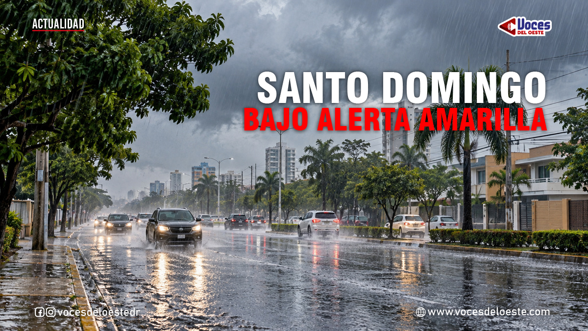
Santo Domingo.– The Emergency Operations Center (COE) raised the alert level to yellow on Thursday, October 8, for the province of Santo Domingo, San Cristóbal, and the National District due to heavy rainfall associated with the passage of a tropical wave and the influence of a trough over the Dominican territory. This measure is essential given the climatic conditions that could lead to significant urban flooding and the rapid rise of rivers, streams, and gullies.
Las autoridades advierten que se deben tomar precauciones ante la posibilidad de lluvias intensas y sus efectos.
Residents are advised to prepare for the potential impact of these rains. Precautions should include securing properties, creating drainage routes, and being aware of emergency services available in their area. Community leaders and local authorities play a vital role in disseminating information and ensuring that residents are informed about safety measures and evacuation routes if needed.
It is crucial to remember that the forecast indicates not only rainfall but also thunderstorms with the potential for strong winds. This combination can lead to hazardous conditions on roads and in homes. Therefore, the public is encouraged to stay indoors during the worst periods of rain and to avoid unnecessary travel.
The cities within the Santo Domingo province, including Santo Domingo Oeste, Los Alcarrizos, Pedro Brand, Santo Domingo Norte, and Santo Domingo Este, are particularly vulnerable due to their geographical layout. History has shown that these areas often experience severe flooding during heavy rains, which can lead to property damage and personal safety concerns. Local government initiatives to improve drainage systems and flood control measures are ongoing, but residents must remain vigilant.
La disposición fue comunicada mediante un boletín emitido a las 5:00 de la mañana, tomando en consideración las lluvias registradas y los pronósticos del Instituto Dominicano de Meteorología (Indomet), que advierten sobre condiciones atmosféricas favorables para aguaceros intensos, tormentas eléctricas y ráfagas de viento. Se espera que la lluvia cause complicaciones en varias áreas.
The COE has also issued a green alert for five other provinces: Monte Plata, San José de Ocoa, Peravia, Azua, and Barahona. These areas are under close observation due to their susceptibility to rain-related risks. Citizens in these regions should prepare for potential emergencies, ensuring that emergency kits are ready and that family members are aware of safety protocols. Community preparedness meetings can help bolster these efforts.
Weather reports indicate that the high humidity levels associated with the tropical wave over Haiti, combined with the atmospheric trough, create ideal conditions for the formation of rain-bearing clouds. Residents should stay informed about updates from the meteorological services and be prepared to respond quickly to changing conditions.
Areas particularly at risk include the southwestern region, the border zone, the Caribbean coast, and sectors of the eastern plain. These regions are known for their diverse landscape, which can exacerbate the effects of heavy rainfall. Authorities recommend that local residents engage in preventive measures, such as clearing drainage systems and ensuring that gutters are functioning properly.
La alerta amarilla abarca a los municipios de la provincia Santo Domingo, incluidos Santo Domingo Oeste, Los Alcarrizos, Pedro Brand, Santo Domingo Norte y Santo Domingo Este, donde las autoridades llaman a mantener la vigilancia ante posibles inundaciones y acumulaciones de agua.
In addition to the immediate risk of flooding, there are long-term implications of heavy rainfall for infrastructure and public health. Poor drainage can lead to stagnant water, which serves as a breeding ground for mosquitoes and can result in diseases such as dengue fever and chikungunya. Local health departments are urged to conduct awareness campaigns about these risks, especially following heavy rainfall events.
In municipalities like Los Alcarrizos and Santo Domingo Oeste, families living in vulnerable areas must heed the advice of emergency agencies, especially during intense rainfall periods. Community drills and emergency response exercises can better prepare residents to react effectively during real emergencies.
The current alert situation coincides with ongoing sanitation efforts of eight gullies announced by the CAASD in Los Alcarrizos. These interventions are crucial in improving drainage conditions and reducing health and flooding risks across various communities. Continuous monitoring of these projects will help ensure their effectiveness during rainy seasons.
The country had already experienced an increase in atmospheric instability in the preceding days. On Wednesday, Indomet warned of rain and thunderstorms associated with the movement of a tropical wave. Understanding the weather patterns and their consequences is essential for maintaining safety and preparedness in affected regions.
Authorities are calling for heightened precautions to be taken by all residents. The COE has recommended that citizens refrain from crossing rivers, streams, and gullies that are exhibiting high water levels. Additionally, avoiding the use of recreational water bodies in the provinces under alert is crucial to ensure individual safety.
It is also important to stay informed through official channels, identify safe routes, and avoid unnecessary travel on flooded roads. Social media can serve as a quick way to receive updates and share information within communities, ensuring everyone is aware of current conditions and advice.
Cinco provincias permanecen en alerta verde
The current directive represents an increased level of prevention in parts of Greater Santo Domingo, following the expansion of green alerts due to flooding risks on October 1. Continuous engagement with local authorities and communities is vital as conditions evolve.
Authorities remind residents that alert levels can be modified based on the evolution of meteorological conditions. Therefore, it is recommended to follow updates from the COE and Indomet in the upcoming hours. Public interest in weather reports can help foster a culture of preparedness and resilience in the face of climate challenges.
<mark class=”rank-math-highlight” style=”background-color: #fee894″>Sources: Emergency Operations Center (COE), bulletin issued at 5:00 a.m. on October 8, 2026; Dominican Meteorological Institute (Indomet). The focus keyword ‘lluvia’ should be included in community discussions about preparedness and response strategies to ensure safety during periods of heavy rainfall.
El COE también mantiene bajo alerta verde a Monte Plata, San José de Ocoa, Peravia, Azua y Barahona, debido a la posibilidad de precipitaciones que podrían provocar situaciones de riesgo en comunidades vulnerables.
Según las informaciones meteorológicas, la elevada humedad asociada a una onda tropical localizada sobre Haití, en combinación con una vaguada en niveles altos de la atmósfera, favorece la formación de nubes capaces de producir lluvias fuertes en diferentes regiones.
Las precipitaciones podrían afectar especialmente el suroeste, la zona fronteriza, el litoral costero caribeño y sectores de la llanura oriental.
Atención especial a las comunidades del Gran Santo Domingo
El incremento de las alertas adquiere particular relevancia para los sectores con problemas de drenaje y viviendas ubicadas cerca de ríos, arroyos y cañadas.
En municipios como Los Alcarrizos y Santo Domingo Oeste, las familias residentes en puntos vulnerables deben prestar atención a las orientaciones de los organismos de emergencia, especialmente durante los períodos de lluvias intensas.
La situación coincide con los trabajos de saneamiento de ocho cañadas anunciados por la CAASD en Los Alcarrizos, una intervención destinada a mejorar las condiciones de drenaje y reducir riesgos sanitarios y de inundaciones en distintas comunidades.
El país ya había registrado un aumento de la inestabilidad atmosférica durante los días anteriores. El miércoles, Indomet advirtió sobre aguaceros y tormentas eléctricas asociados al desplazamiento de una onda tropical.
Autoridades llaman a extremar las precauciones
El COE recomendó a la población abstenerse de cruzar ríos, arroyos y cañadas que presenten altos volúmenes de agua, así como evitar el uso de balnearios en las provincias bajo alerta.
También resulta importante mantenerse informado a través de los canales oficiales, identificar rutas seguras y evitar desplazamientos innecesarios por vías inundadas.
La actual disposición representa un incremento del nivel de prevención en parte del Gran Santo Domingo, después de que el organismo ampliara las alertas verdes por riesgo de inundaciones el pasado 1 de octubre.
Las autoridades recuerdan que los niveles de alerta pueden modificarse según la evolución de las condiciones meteorológicas. Por ello, recomiendan seguir las actualizaciones del COE y del Indomet durante las próximas horas.
Fuentes: Centro de Operaciones de Emergencias (COE), boletín de las 5:00 a. m. del 8 de octubre de 2026; Instituto Dominicano de Meteorología (Indomet).

